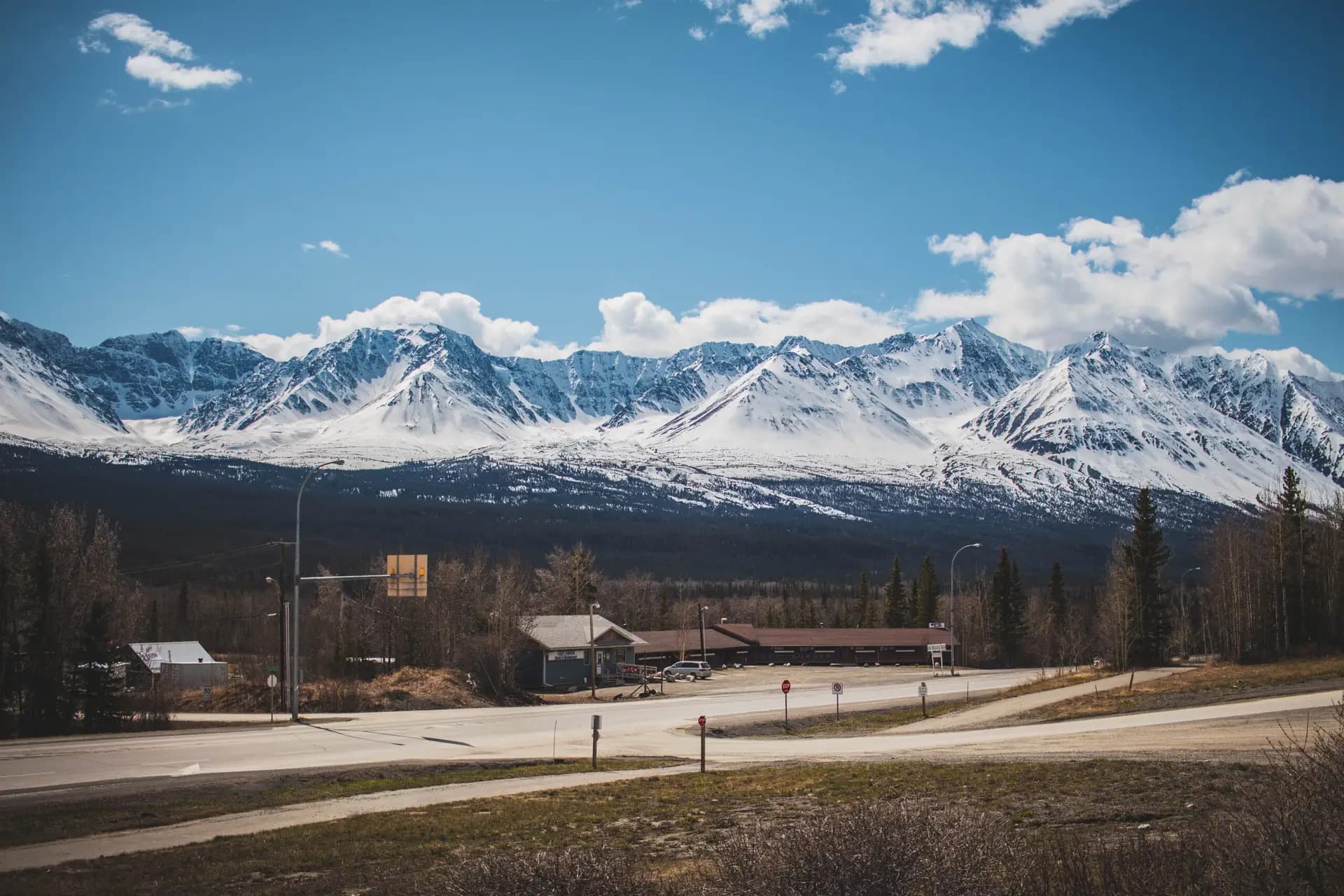
Kluane protects roughly 22,000 square kilometres of the Saint Elias Mountains, and most of it is ice. The park holds the largest non-polar icefields on earth, and at their centre stands Mount Logan: 5,959 metres, the highest mountain in Canada and the second highest in North America. Almost none of that is visible from the road. What you see from Haines Junction are the Kluane Ranges, the park's front wall. The giants sit behind them, out of sight, and that takes a while to absorb.
Together with Wrangell–St. Elias and Glacier Bay in Alaska and Tatshenshini-Alsek in British Columbia, Kluane forms one of the largest protected areas on the planet — a transboundary site inscribed on the UNESCO World Heritage List in 1979 for its glaciers, its icefields and the grizzly, Dall sheep and caribou that live among them.
On a normal schedule there are two ways in on foot. Kathleen Lake, south of the village on the Haines Road, is the main day-use area, with the King's Throne route climbing the cirque above it. Closer to town, the Auriol Trail loops roughly 15 km from spruce forest up into subalpine meadow. Both are established, signed routes — but this is a wilderness park with real bears, real weather and real water crossings. Get current conditions and a safety briefing from Parks Canada, not from a trail app.
The other way to see Kluane is from the air. Flightseeing over the icefields operates out of Haines Junction and is the only practical way to grasp the scale of what sits behind the front ranges. Ask locally about who is flying, and book with room in your schedule — the weather decides, not the calendar.